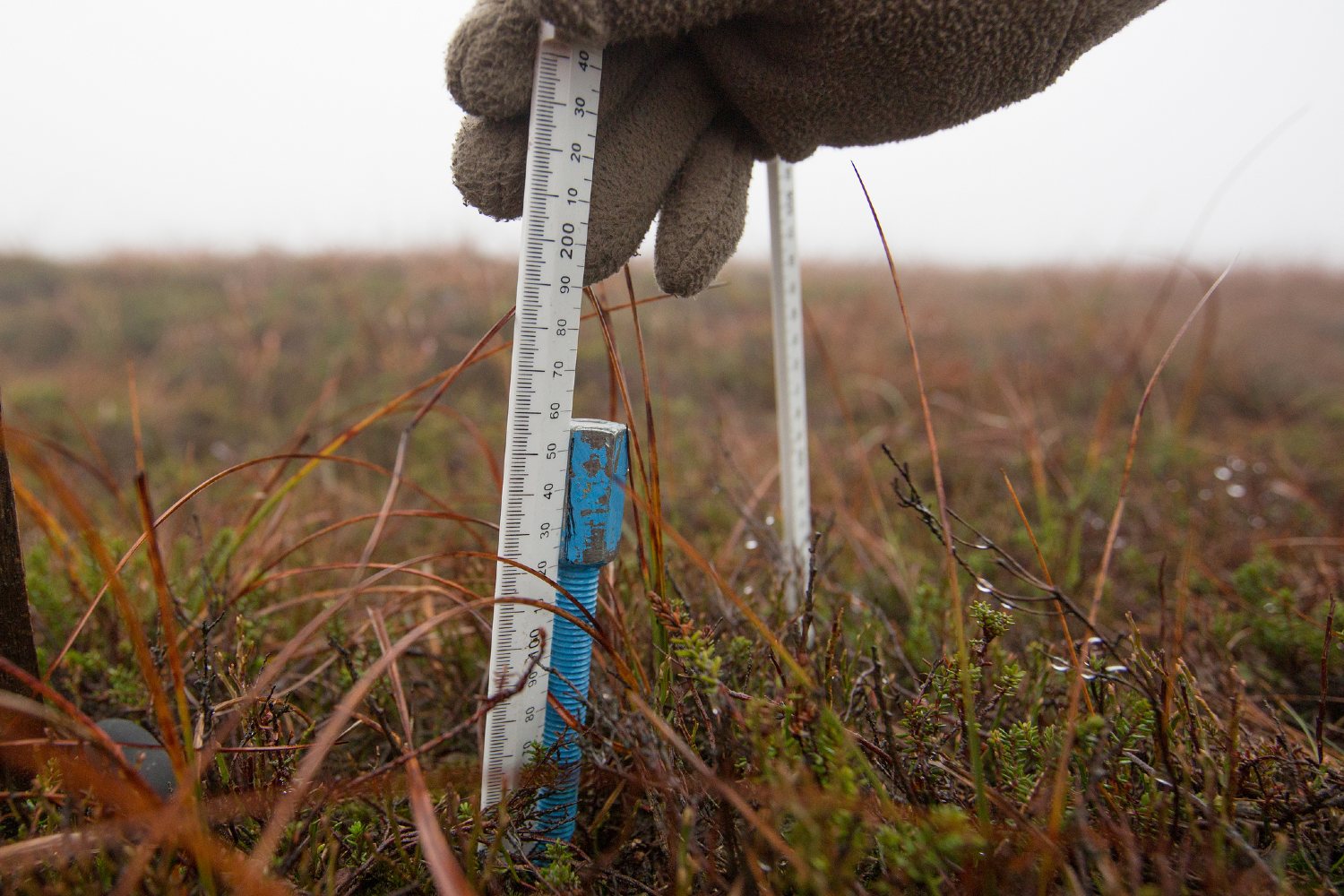
Gathering evidence to better protect and manage the moors
We monitor changes to vegetation cover and type, research how water behaves on the moors, and track the fortunes of moorland wildlife.
Our programme of research and monitoring helps us understand how effective our conservation work is and helps to assess and quantify the benefits of our work.
Collecting data
Our team of scientists undertakes rigorous research to aid our understanding of the status and condition of many different aspects of moorlands. Much of this work takes place on remote moorland sites. The team draws its strength from a number of project staff, a pool of casual workers and a dedicated team of volunteers.
We study:
- water and hydrology
- biodiversity – vegetation and wildlife
- peat and carbon
- ecosystem services and land use economy
- tourism and recreation
- socio-economic aspects of upland management
- managing the risk of wildfire
We monitor the areas where we’ve worked to see:
- what effects our conservation work has
- whether and how well the conservation work meets our objectives of improving the condition of the moors and contributing to the multiple benefits of healthy blanket bogs
- whether the work is as cost-effective as possible
- whether a conservation technique or method is suitable to use on other sites and if so, where and how
We work in partnership with a number of universities, sharing knowledge and skills, to maximise the benefits of our research. We collaborate with universities where we can, including funding PhD and master’s projects, and hosting undergraduate work placements.
Crucially, this evidence provides us with a ‘baseline’ understanding so that we can measure changes against as our work progresses. This enables us to monitor the effects and suitability of everything we do.
Effectively monitoring what we do takes a lot of time and work. Trained volunteers help with specialist surveys, and schools and citizen science projects contribute further to the evidence we collect.
Researching water in the uplands
We use a wide variety of techniques to gather data about the behaviour of water on the moors. We have field labs on many of our work sites with dipwells (tiny wells to measure the depth of the water table), rain gauges and v-notch weirs to measure the flow of water from the moor. Much of the work involves regularly downloading data from loggers and taking manual measurements.
Monitoring vegetation cover
Monitoring vegetation ranges from the micro – surveying quadrats to track changes to vegetation type, to the macro - using unmanned aerial vehicles (UAVs) with cameras to record the cover and type of vegetation at a landscape scale.
Our Resources
We have published reports on many aspects of our research and monitoring.
You may also be interested in...
Kinder Scout Sphagnum Trials Summary Peatland Restoration Project 2018
Comparing the establishment,survival and growth of four different sphagnum propagule types
Sphagnum Donor Site Monitoring Pilot Study Summary 2019
Study indicating that hummock forming species of sphagnum moss recover from harvesting from donor sites for translocation. Summary of report - shorter read