The Bleaklow Project Site
Owned by National Trust, United Utilities and Woodhead Estate, this site covered 26 square kilometres between Glossop and the Longdendale and Upper Derwent valleys and included Bleaklow Head, the second highest plateau in the Peak District at 633 metres.
During the works 11,000 bags of heather cuttings (brash) were flown in and spread, and 52 kilometres of geotextiles were used to stabilise the bare peat.
Around 1,900 tonnes of lime and fertiliser was applied and 22 tonnes of grass and heather seed sown to kick-start the revegetation process.
As part of the gully blocking programme almost 4,000 dams were installed.
On treated areas 150,000 moorland plants such as bilberry and cottongrass were introduced to help revegetate this special place.
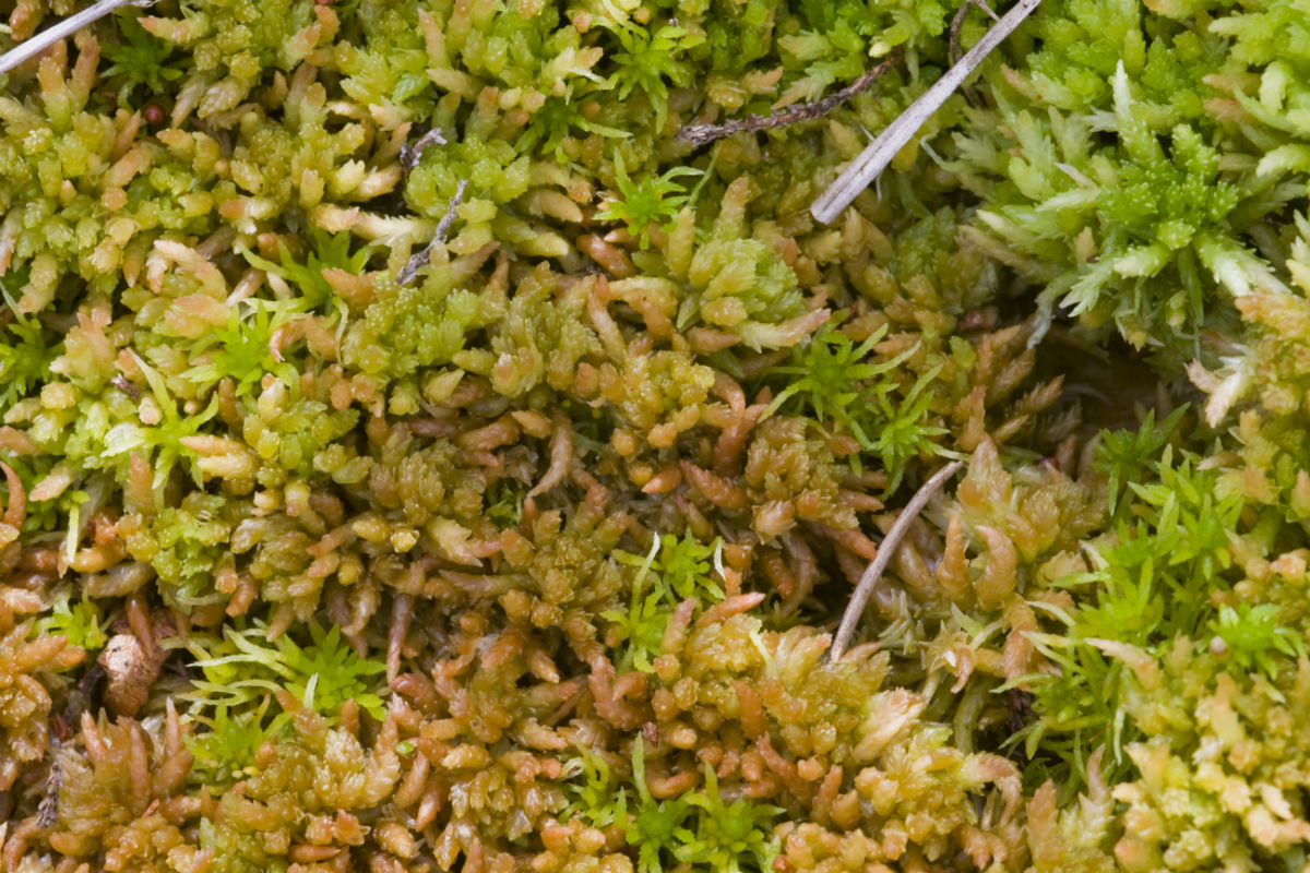
To create a thriving colony of bog-loving plants 30,000 plug plants were planted and 807 million fragments of Sphagnum were spread.
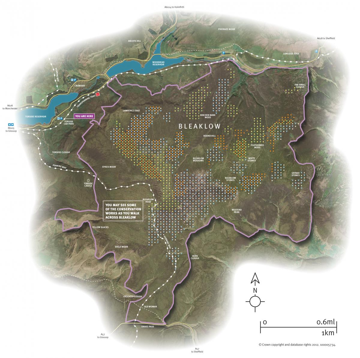
Bleaklow can be accessed from the Snake Pass or Woodhead Pass. It lies on the Pennine Way and above the Trans Pennine Trail.
Heather cuttings being airlifted onto Bleaklow
Flyover at Bleaklow
Photo gallery
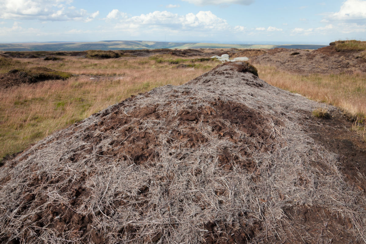
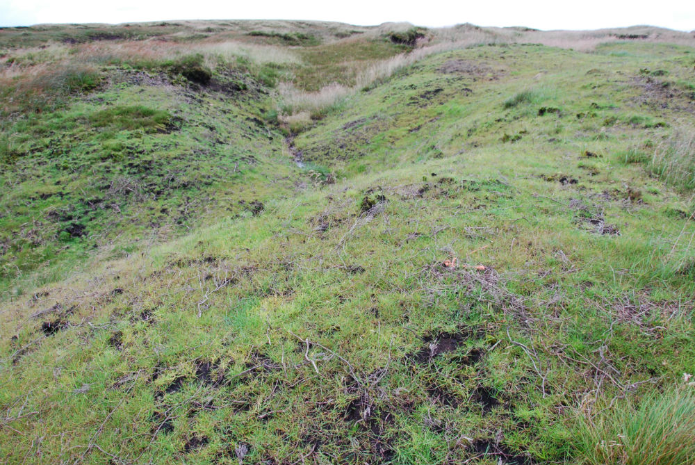
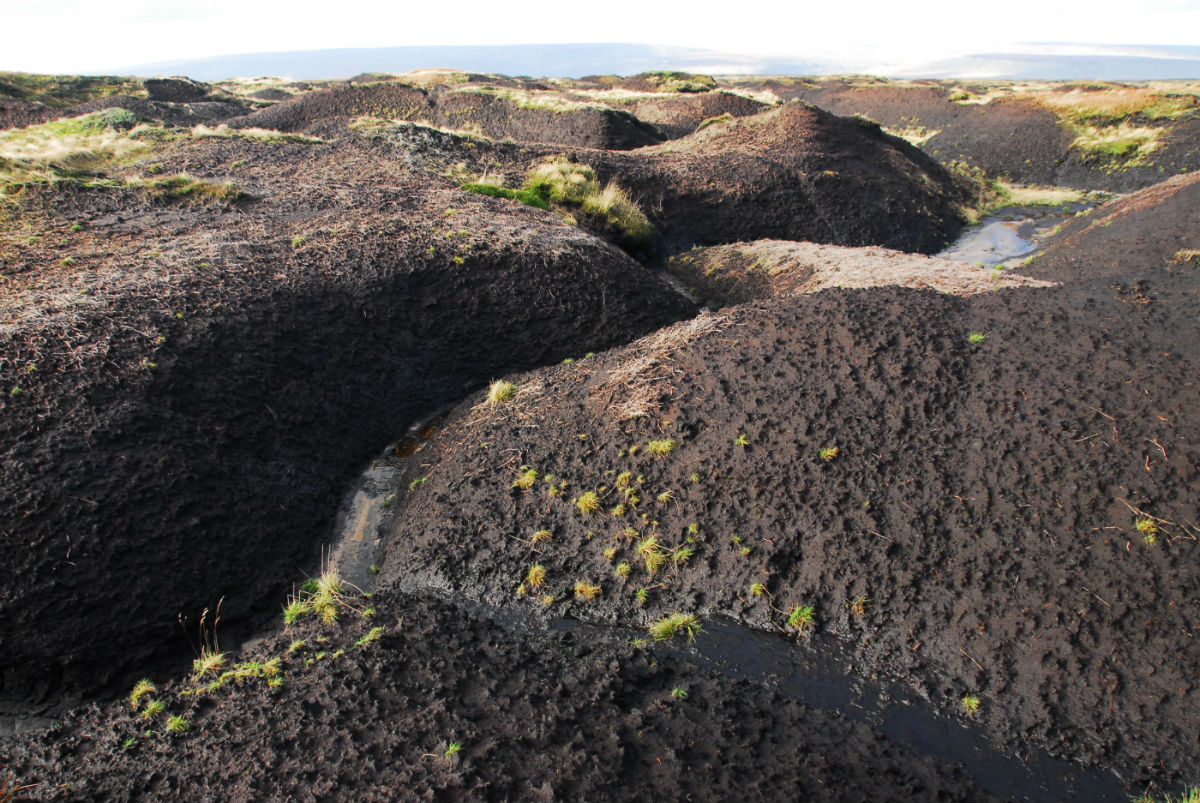
Bleaklow before and after conservation works took place to encourage the growth of a new protective layer of vegetation such as the sphagnum in the last picture.
View our other MoorLIFE project sites
Find out about more of the sites where works took place as part of the MoorLIFE project.
You may also be interested in...
Funded by
![]()
![]()