Bamford, Goyt Valley and The Roaches
Restoration works are taking place at popular Peak District visitor destinations
The restored landscape will capture over 98,714 tonnes of carbon over the next 50 years
There are opportunities for volunteers to get involved by planting sphagnum moss to create blanket bog for future generations.
PROJECT START DATE: SEPTEMBER 2023
PROJECT END DATE: MARCH 2025
Moor Climate Action Phase 2 consists of three restoration sites across the Peak District National Park, namely Bamford catchment, the Goyt Valley and the Roaches. The project is funded by the Nature for Climate fund from Defra and administered by Natural England's Nature for Climate Peatland Grant Scheme (NCPGS). This provides funding to restore peatlands in the uplands and lowlands of England. This funding is part of the Government commitment to set 35,000 ha of degraded peatland in England on a path to restoration by March 2025 and reduce emissions from peat by 9 million tonnes of carbon dioxide equivalent by 2050. Restoration of these moors will capture carbon, provide homes for wildlife, reduce flood risk and improve water quality in all three catchment areas. This important work also attracted match funding from United Utilities, Severn Trent, National Trust, Staffordshire Wildlife Trust and BMC Access and Conservation Trust.

Bamford
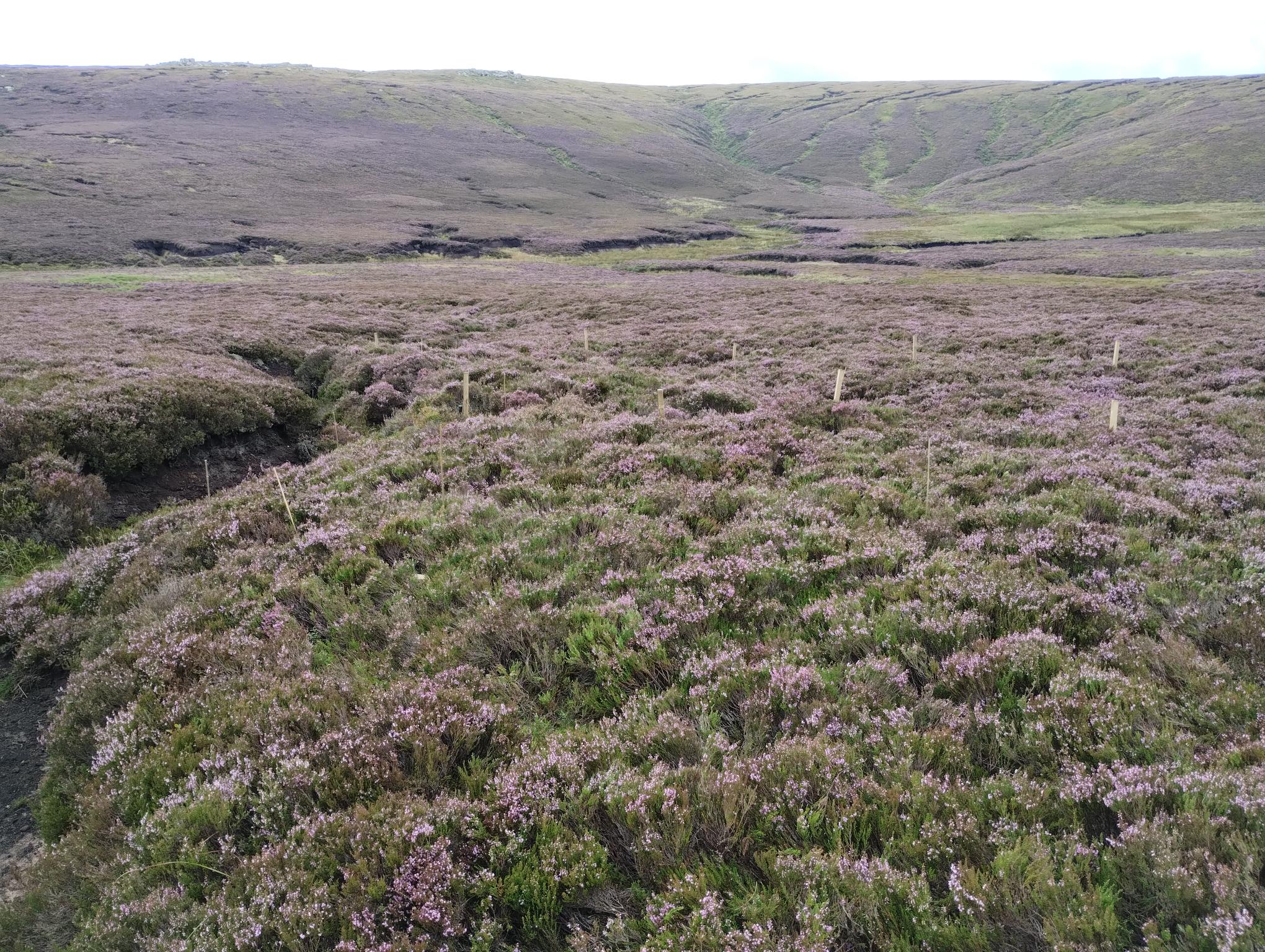
The Bamford restoration site is located 20km to the north west of Sheffield, 30km east of Manchester, within the county of Derbyshire. The site has seen a wide range of human influences, from tree clearances in the Mesolithic era through to agricultural practices such as hill sheep grazing. Each has played a major role in creating the heather moorland which now dominates the site.
The area identified for restoration is owned by the National Trust High Peak Estate and is part of the Severn Trent Water operational area known as the Bamford Catchment. Previous Moors for the Future Partnership restoration works have taken place within the area through EU LIFE funding via the MoorLIFE and MoorLIFE 2020 projects.
The area of the catchment identified for restoration is blanket bog and is located on Bleaklow plateau. At a maximum altitude of 625m, it is an aptly named, exposed region which has approximately 1200mm annual precipitation. The peat depth on the plateau is about 2–3m.
The site has suffered from degradation due to an array of previous influences including, historic climate change events such as the Medieval Warm Period and Little Ice Age, 19th and 20th Century industrial pollution, overgrazing and wildfire (especially 2003), which have combined negatively with land draining leading to peat loss and declining biodiversity.
The key aims of the restoration works are:
- Reduce direct peat loss downstream via channels and gullies formed in the land.
- Reduce peat loss caused by peat drying out which leads to plant decomposition and CO2 release.
- Increase biodiversity and formation of healthy, peat-forming environments whilst also increasing photosynthesis and thus carbon capture.
- Reduce the storm flow caused by extreme events predicted by climate change modelling.
- Improve moisture retention of the peat during dry/drought periods and consequently decrease wildfire damage.
These individual aims carry the over-arching goal of reducing carbon loss from these degrading upland stores, turning them from CO2 sources into future CO2 sinks.
In order to achieve these aims restoration works will include :
- Blocking of active drainage features and erosion gullies.
- Stabilising peat haggs and eroding gully sides using reprofiling and revegetation techniques.
- Identifying areas of bare peat and taking steps to promote revegetation to prevent drying out and erosion.
- Rewetting of the degrading and drying peat surface using gully blocking and sphagnum planting.

Restoration works season 2023-2024
Since August 2023 works completed before we downed tools to allow space for the ground nesting birds breeding season began include:
- 439 bags of heather brash have been spread over 1.8 hectares, helping to stop peat erosion by rain and wind”
- 0.7 hectares of lime, grass seed and fertiliser have been spread to bind the peat and give native species firm foundations to follow..
- 1325m of slope reprofiling have been completed, meaning steep sloping peat gullies now have a gentler angle, allowing plants to establish themselves in the peat
- 1022 stone dams have been installed to prevent further gully erosion
- And 93,750 sphagnum plug plants are now in the ground ready to do their work.

The Goyt Valley
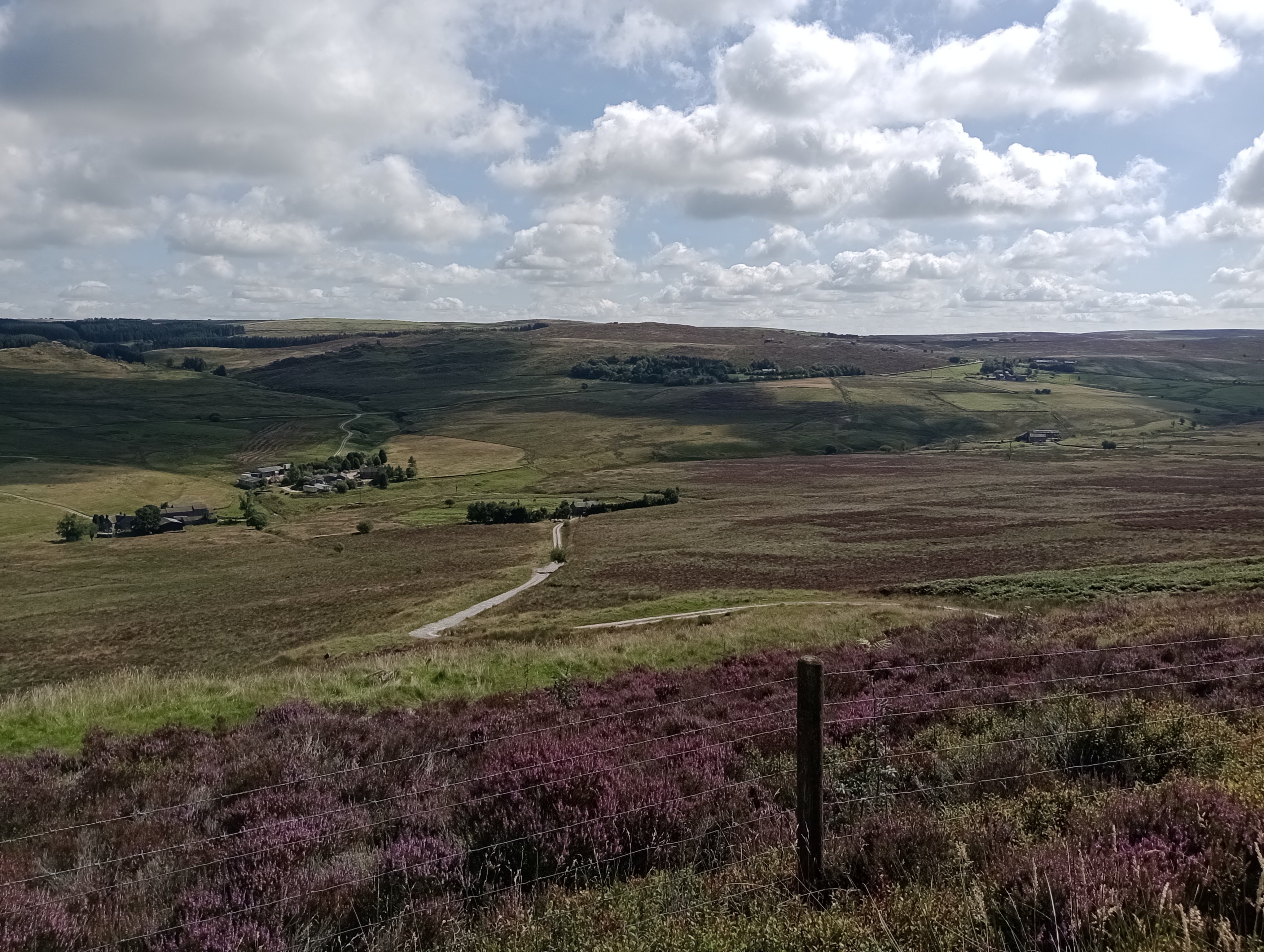
Situated approximately four miles west of Buxton, the rolling hills of the Goyt Valley lie in both Derbyshire and Cheshire and are a popular destination for walkers. The Goyt valley has a long history of agricultural and industrial use dating back to 3000 BC. Evidence of agricultural management of the moorland dates to 1300 AD. There are also widespread artefacts of centuries of coal mining on the moorland plateau dating back to the early 17th century.
The 665-hectare restoration area is owned and managed by United Utilities and was identified as having the highest risk levels in the Goyt catchment for poor raw water colour and low water clarity indicating peat in the water.
Our goals include:
- Reducing peat loss from the landscape caused by peat drying out which leads to plant decomposition and subsequent CO2 release.
- Increasing biodiversity and formation of healthy, peat forming environments whilst also increasing photosynthesis and thus carbon capture.
- Reduce the storm flow in tributaries associated with extreme events predicted by climate change modelling
The site consists of several plateaus of bog on deep peat of a depth of between 0.4 metres to 4 metres, separated by steep-sided cloughs containing streams that feed into Errwood reservoir. It contains SSSI units as well as falling within the South Pennine Moors Special Area of Conservation, the Peak District Moors Special Protection Area, and the Peak District National Park.
Our 4 main objectives are:
- Selective blocking of active drainage features and erosion gullies using a variety of well-established dam types.
- Stabilising peat using re-vegetation techniques.
- Re-wetting of the degrading peat surface using gully blocking and sphagnum planting.
- Diversifying the vegetation through re-wetting and replanting of sphagnum at high density and in a highly targeted manner.

Restoration works season 2023-2024
Restoration works on The Goyt Valley began in January 2024. Works completed within the season include:
- The installation of 387 peat dams, 124 timber dams and 226 stone dams in eroded gullies and channels to slow the flow of water and peat off the moors.
- We have completed 486m of reprofiling work to lessen the severity of slopes within the gullies and help native speices establish there more easily.
- We have planted 384,000 sphagnum plug plants (24,000 of those were planted by our enthusiastic volunteer groups)
- Next year we have planned to plant another 409,000 sphagnum moss plug plants to help to rewet the moors

The Roaches
The restoration site within the Roaches in Staffordshire lies 7km north east of the town of Leek. It is owned by the Peak District National Park Authority, is managed by Staffordshire Wildlife Trust and is within the catchment waters for Severn Trent Water. Additionally, it lies within the Leek Moors SSSI, the South Pennine Moors Special Area of Conservation, the Peak District Moors Special Protection Area, and the Peak District National Park.
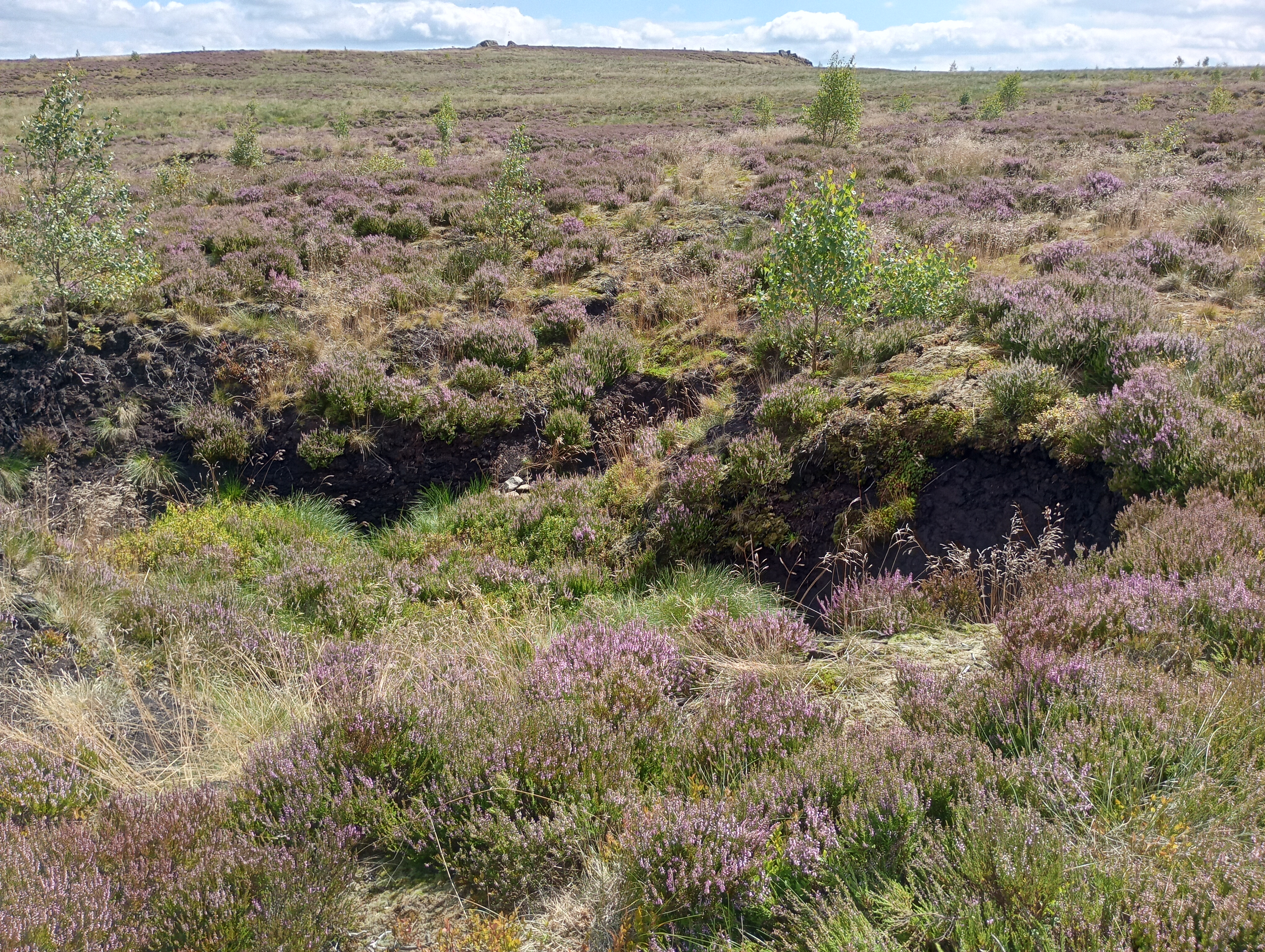
A significant wildfire occurred in 2018 at the Roaches, resulting in loss of vegetation from an area of approximately 62 hectares from both the central plateau of bog and the dry heath on the slopes. Though regrowth has been strong, coverage is variable across the site. Differing proportions of bare peat are still left exposed and dispersed in patches between vegetation.
The main restoration priorities at the Roaches are to stabilise and re-vegetate the remaining areas of bare peat, reduce peat sediment loss, enhance water retention, increase the coverage of key peat-forming sphagnum species, and reduce fire risk.
The key aims of the restoration works are to:
- Reduce direct peat loss from the site, taken by rainwater or wind.
- Reduce CO2 release caused by exposed peat loss.
- Increase biodiversity and formation of healthy and peat forming environments.
- Reduce the storm flow by extreme events predicted by climate change modelling.
- Ensure uplands become a future carbon capture tool.
Our four main work programmes include:
- Blocking of active erosion gullies by water using dams.
- Re-wetting of the degrading and drying peat surface using sphagnum planting.
- Diversifying the vegetation and planting of a diverse selection of native plants.
- Stabilising and revegetating remaining disperse bare peat from the 2018 fire.
Restoration work has previously been carried out on the site by Moors for the Future Partnership under the “Water Environment Grant – Building Blocks” project. Previously completed works consist of the installation of 124 peat dams, 40 stone dams and 61 heather bale dams in 2020 and early 2021.
42,250 sphagnum plugs (were also planted between December 2020 – February 2021.
We will be studying and continuing this previous work.

Restoration works season 2023-2024
Works completed between February and March 31st 2024 include:
- Installing 73 stone dams into eroded gullies running off the moor
- Installing 128 dams made of coir bale to slow the flow
- Planting 27.5ha of moorland with 65,000 sphagnum moss plug plants - including those planted by our enthusiastic volunteer teams.
- Alongside a large number of native vascular plug plants including 10,000 cotton grass plants, 9000 bilberry plants and 11,000 crowberry plants

Funded by
