Walk in the footsteps of Romans and Revolutionaries
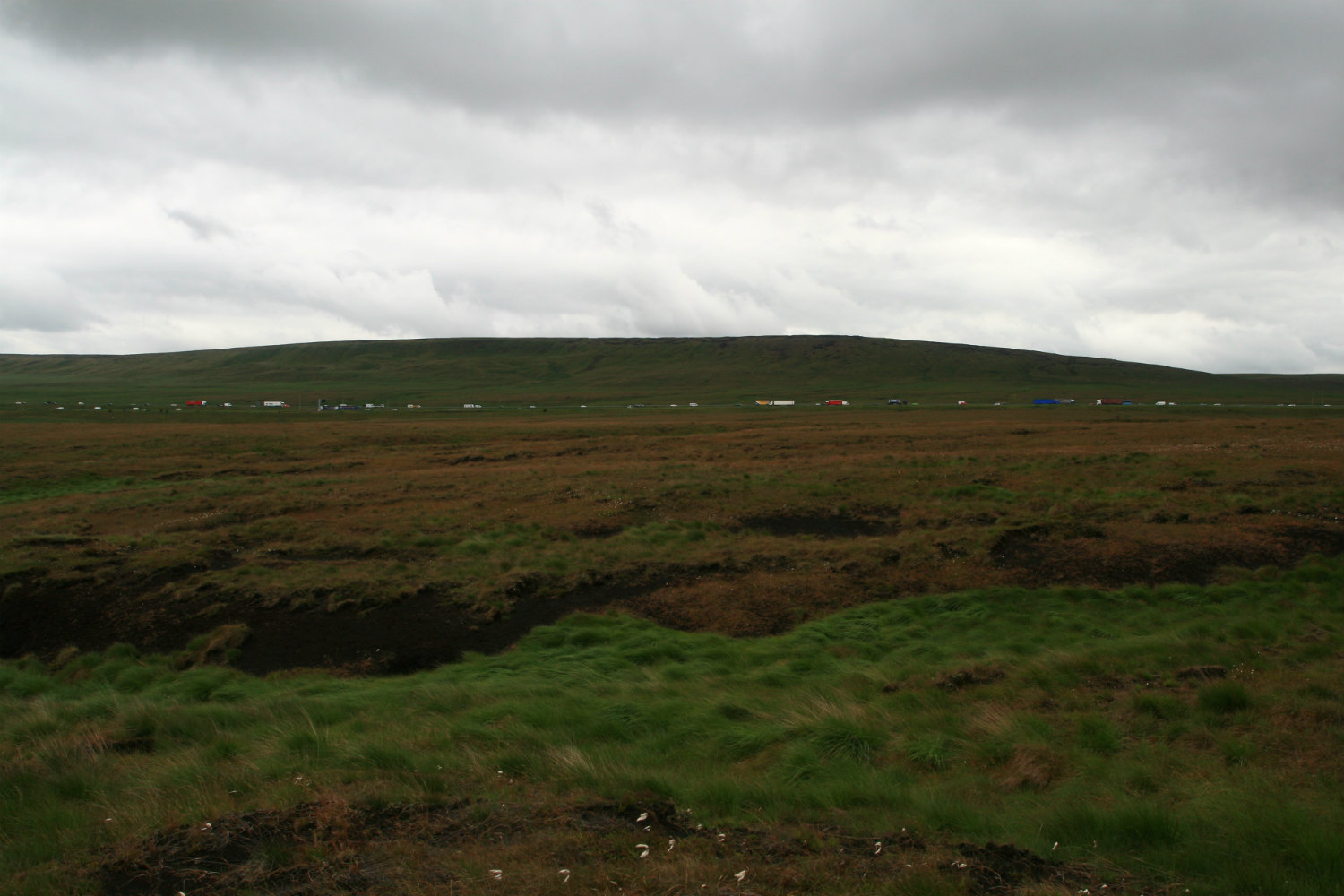
In this audio guide, hike across Rishworth Common and learn more about conservation works being undertaken here – including what’s being done, and most importantly, why!
Audio Trail Files
- Rishworth Moor Audio Trail - Part 1
- Rishworth Moor Audio Trail - Part 2
- Rishworth Moor Sample
- Rishworth Moor Route Map
Starting Point: Car park below The White House (OS grid ref: SD 967178)
Distance: 11km /7 miles
Grade: Strenuous
Allow: 3–4 hours
Map: OS Explorer 21 – South Pennines
Terrain: A mixture of tracks, rough moorland and flagged paths including ascents, descents and stiles
Nearest town: Ripponden
Audiotrails
Take a look at our full range of audiotrails
