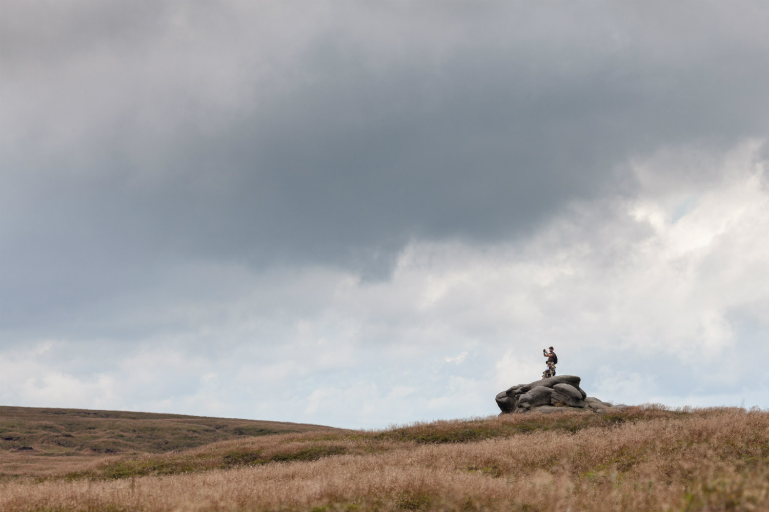
Bleaklow took a hammering at the hands of the Industrial Revolution.
But this is not a sob story – this is a tale of how these moorlands now provide fresh water to the millions of people who live in the shadow of this mighty peak – thanks to some pretty amazing conservation work.
Audio Trail Files
Starting Point: Torside reservoir Ordnance Survey grid reference – SK088929)
Distance: 13km/8 miles
Grade: Strenuous
Map: Explorer OL1 The Peak District – Dark Peak Area
Terrain: Uneven moorland terrain, knowledge of taking compass bearings essential – streams may be difficult to ford in wet weather.
Nearest Town: Glossop
Audiotrails
Take a look at our full range of audiotrails
