Active blanket bog – protected and improved
The MoorLIFE project protected a habitat of European significance by stabilising and preventing areas of bare and eroding peat from getting any bigger.
Communities on both sides of the Pennines benefited in terms of improved landscape; water quality and diversity of upland plants, birds, mammals and insects.

MoorLIFE focussed on four sites within the South Pennine Moors Special Area of Conservation and Special Protection Area.
Bleaklow
Rishworth Common
Turley Holes
Black Hill
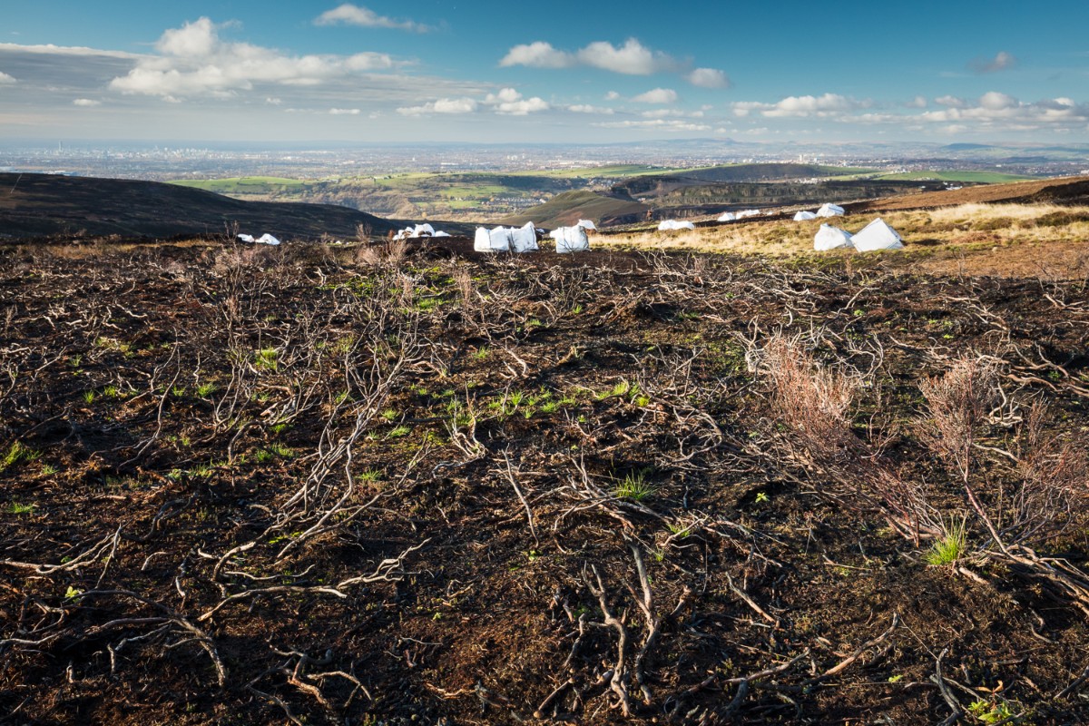
The blanket bog in these areas had been severely damaged by:
- pollution from the industrial revolution
- wild fires
- erosion from wind and rain
The habitat provided by active blanket bogs is home to many important birds including the endangered twite (or Pennine finch).
Various techniques were used and developed to improve the condition of the blanket bog at these sites. The terrain meant materials were often flown onto the site and then distributed by hand.
Each site had different challenges with an individual approach undertaken at each location.
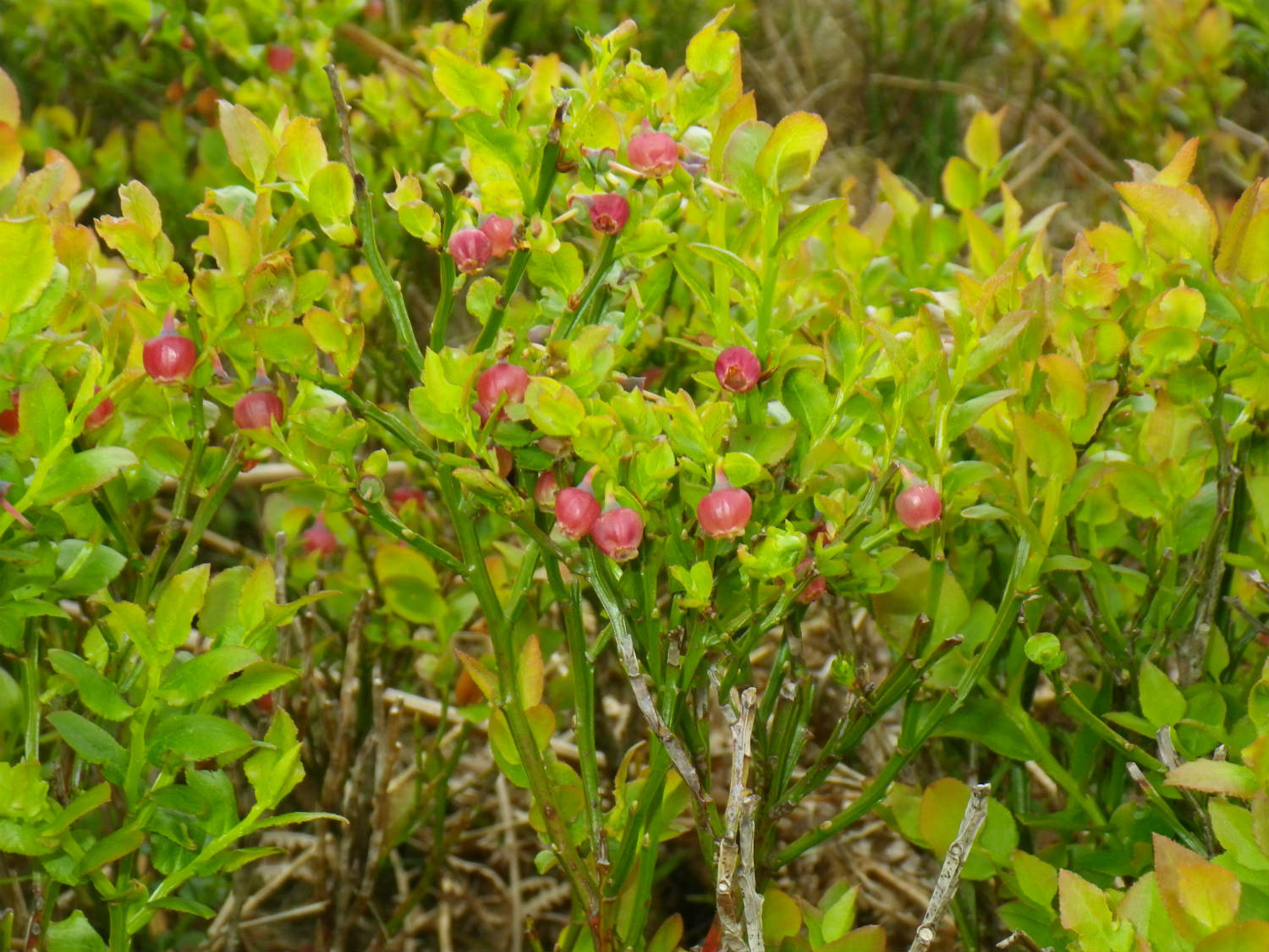
Peat-forming Sphagnum moss, which had nearly disappeared from this area, and other key upland plants – heather, cottongrass, bilberry, crowberry and cloudberry – were re-introduced.
Much of the water for the North of England comes from the Pennine moors
The work helped keep water cleaner by preventing peat sediment getting into reservoirs.
Throughout the five years of the MoorLIFE project evidence was collected to monitor the impact of the conservation work.
Hundreds of dipwells installed to record the change in water levels, thousands of water samples taken to look at water quality and 2-metre square plots were assessed to monitor changes in vegetation cover and type of plants.
Volunteers played a key role and took measurements for about ten weeks during each autumn and winter.
In order to illustrate the work that was carried out and to help improve understanding about the moorland habitat a wide spectrum a variety communication tools were used.
Lesson plans were created for primary and secondary school pupils, and a campaign encouraging the public to be more Fire Aware was launched incorporating two interactive portals – still available at the Moorland Centre in Edale and at Fairholmes.
Noticeboards remain on site, giving details of site specific works, audio trails created to provide a virtual guide to this iconic landscape, and smartphone apps providing mobile field guides to plants, wildlife and landscape features continue to be available to download.
Press releases, podcasts, presentations and videos were produced, while conferences and seminars ensured the learning was shared within the scientific and environmental communities.
You may also be interested in...

Funded by
![]()
![]()